In the morning, the first item on my agenda was to find Dal’s cache in the woods. His GPS coordinates were of no use to me, but fortunately his instructions were clear, and if precisely followed would lead me to the stash with confidence. It also didn’t hurt that I’d seen the photos on his blog. 
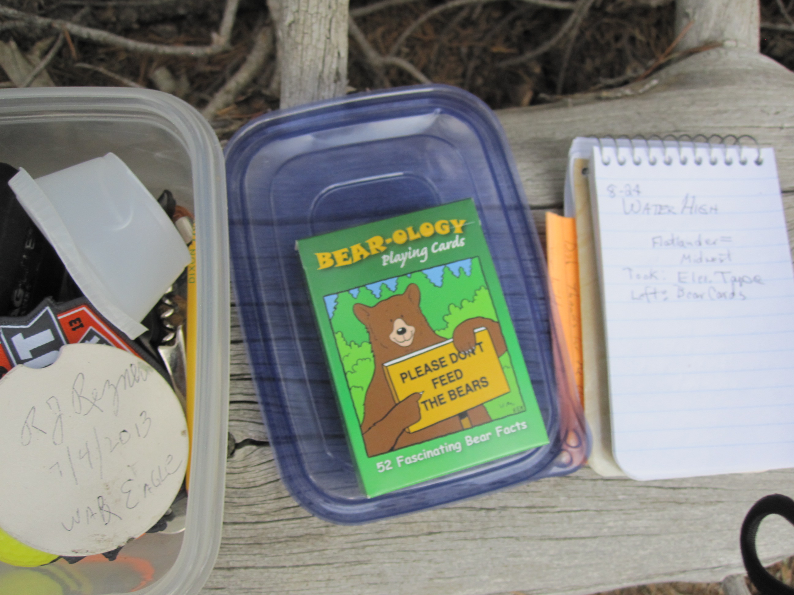
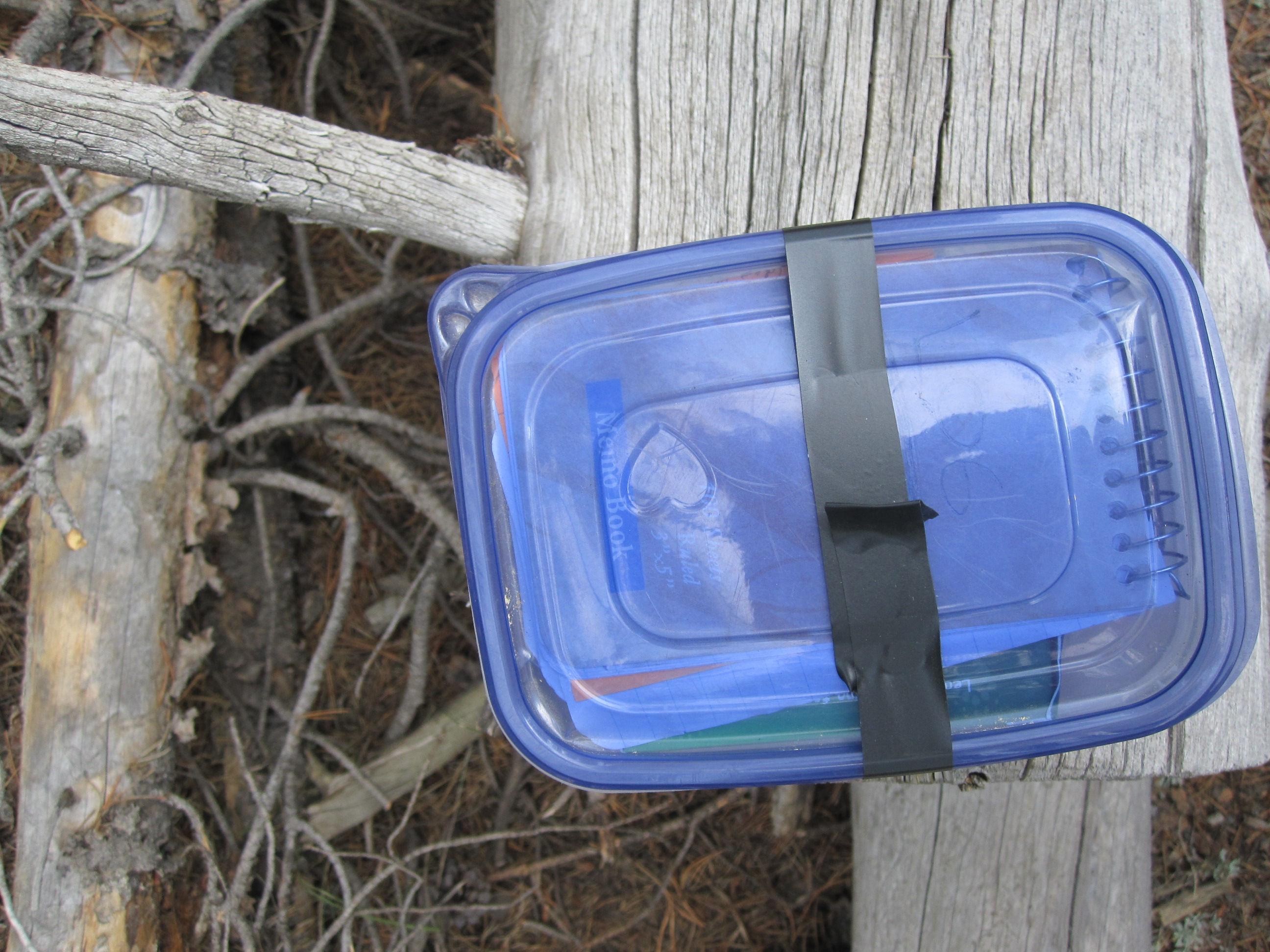
I’d brought a set of ‘important bear info’ playing cards to leave in the tub. To make room, I had to choose between a black thing and electric tape. I took the tape.  Good to go.
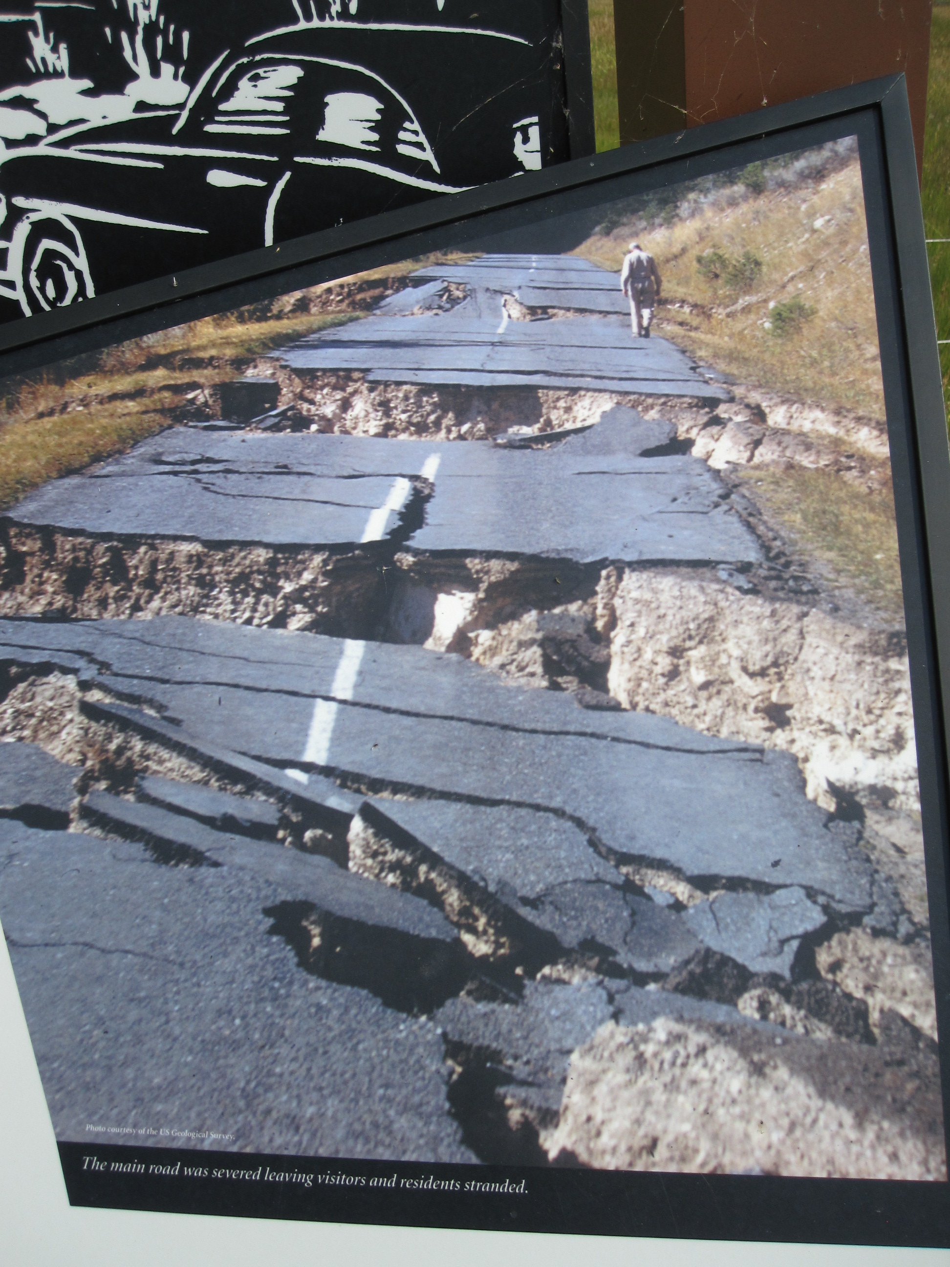
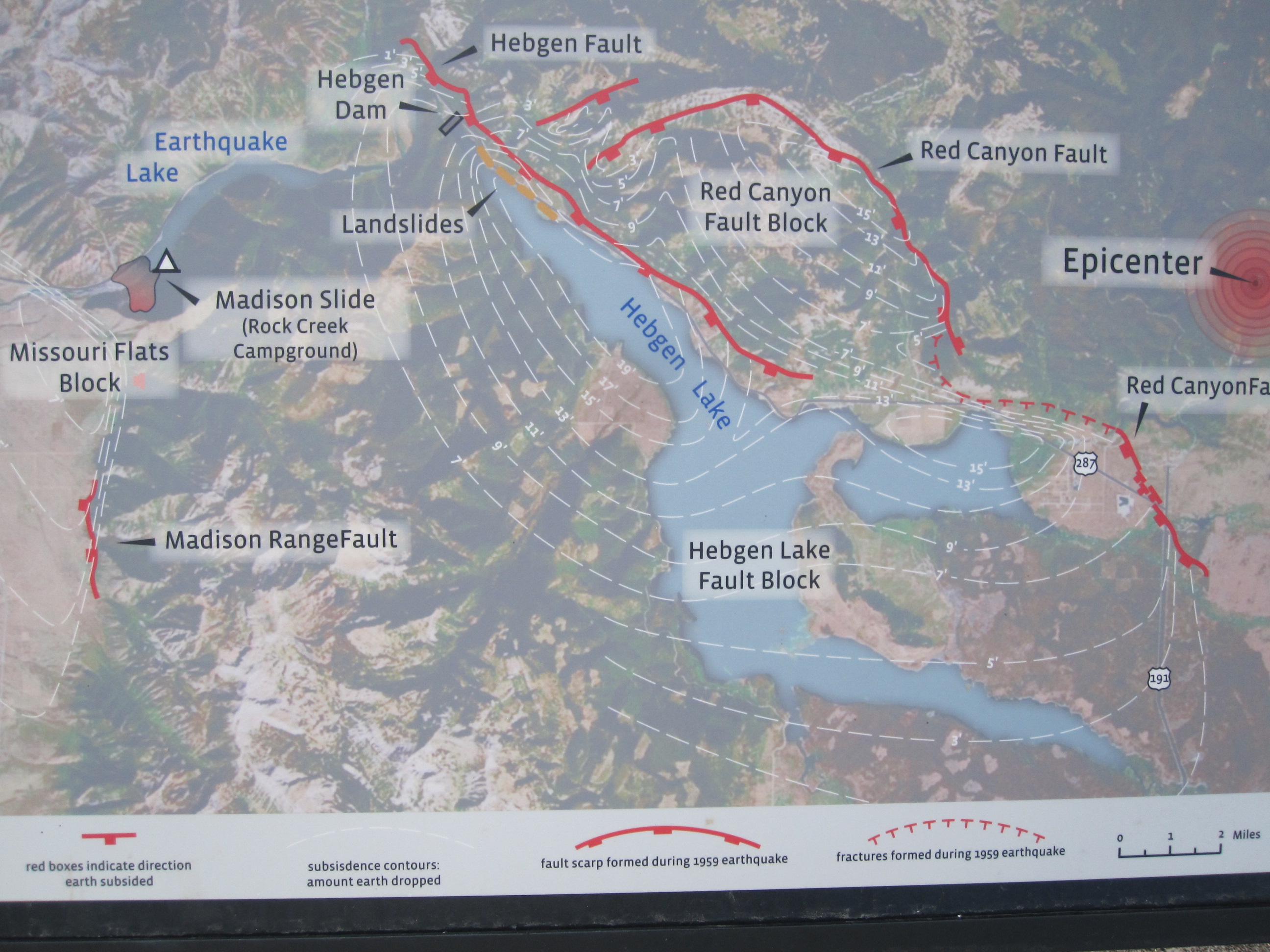
The rest of the morning was spent driving down the Madison and checking out the earthquake damage. I’d been there the day it happened and again when I was ten. (See Terremoto entry.)

The Hebgen Lake Dam and fishing access was closed for construction/repairs.

Possibility of water high?!
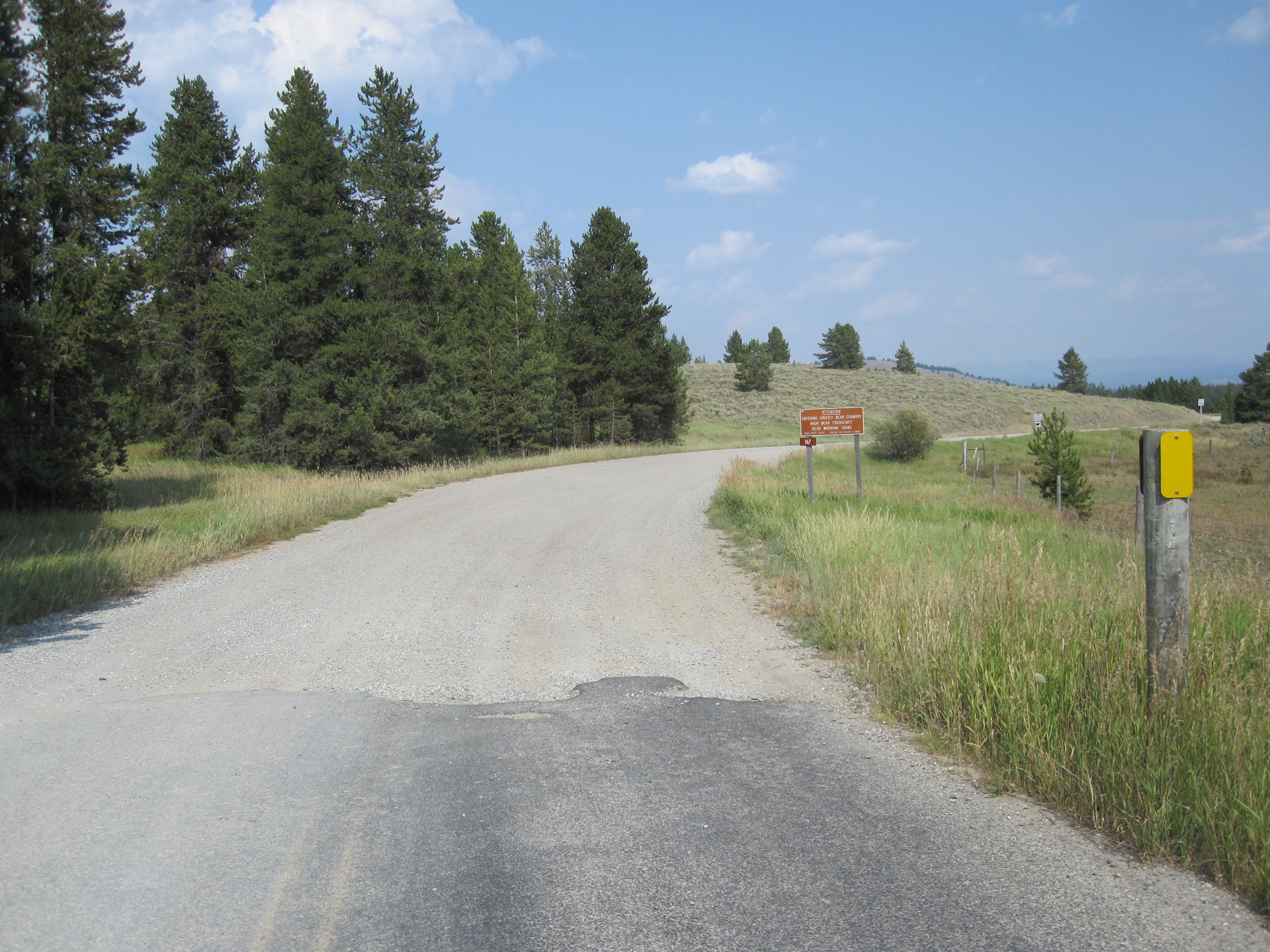
Surprising how the rocky scars still look fresh. In fact, across from the Earthquake Visitor’s Center (also CLOSED), I saw an omega blaze and looked quickly down.

OMG! The Omega?
Okay, between me and the hidden treasure chest was a rushing river, boulders, and a steep ravine. Hmm. I’ll come up from below, I thought.  I drove down to where the valley opened up. A longer hike than I’d be doing alone in the heat. Maybe not ever.
I turned around and drove back up the ‘hill’. Now, there were 2 empty cars parked along the road. For a moment I panicked and thought they were just ahead of me on the chase. I parked and started hiking down the slippery slope across from my blaze. And then I saw them.
It turned out, they were ‘just’ fishing.
 I had some time to think there on the slide. The more I gazed across the river, the more I realized that spot was just not possible to reach safely. Not for a child, a person of eighty, or even one approaching 60. Anyone in between, go for it. You have my blessing. Go in peace.
Instead of heading north, I went back into
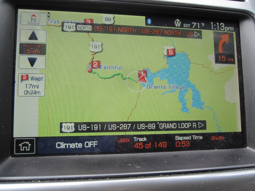
West Yellowstone for bear spray, just in case I got brave enough to get in the wood. And, just to remind myself of the vertical factor this winter while I’m poring over maps, I picked up a 3-D molded plastic version map of the area. I think we still have a Denver/Rockies one from 28 years ago.
I inquired of the volunteers at tourist info as to where Watkins Creek was. In addition to printing me a map, they mentioned a $6k per week Firehole. I started out for it, but the tarred road was scant.

I made it a bit past the nice boat launch/campground before I was jarred into turning around. Clearly the movie stars they’d mentioned must fly in.

I only had 6.7 more miles of gravelly washboard to go. If Mr. W gets that pickup, we’ll try it next year. Plus, that will give me an extra year to get into shape to reach those aptly (?) named lakes above there. *** Is there an air ambulance available for the over-confident? she wonders.
After lunch, I headed up Highway 191, the Gallatin River valley, to the Soldier’s Chapel. I’d recently read The Bloody Bozeman, and have to agree with the person who mentioned that Bozeman ought to be named Story. Bozeman was rather reckless with other people’s lives.
I headed south to where I’d made a reservation for the night. A welcome thunderstorm passed through that night and drenched the area. Helpful to those battling a fire or two.

I planned to attend the chapel service Sunday morning, and then, if I was really brave, I just might have (probably not), ridden the ski lift/tram up Lone Mountain before heading to parts north.
But, there was an email waiting for me. From Forrest Fenn.
*** If I had kept up with Dal’s blog the day I was packing, I would have realized that a couple of fearless, and healthy, searchers had made the trek up the mountain to not just Lower Coffin Lake, but the Upper one as well. So, maybe we don’t need that pick-up truck. . . .